Houdini · Python · GIS · DEM · Terrain Generation
Any place on Earth.
As 3D geometry.
An automated pipeline that pulls real-world elevation data and converts it into usable 3D terrain geometry — on demand, for any area on the planet. A web front-end lets users draw their region of interest on a map; the system handles everything from data acquisition to mesh output. Built for military planning. Useful for anyone who needs terrain.
The problem
Real-world terrain data exists in abundance — satellite surveys, national elevation datasets, open geographic sources. What it doesn't exist as, by default, is a clean, usable 3D mesh. The gap between raw elevation data and geometry you can actually work with is a pipeline problem: fetch, process, convert, clean, export.
The system built here closes that gap entirely. A user opens a map, draws the area they care about, and submits. The pipeline handles data acquisition, format conversion, geometry generation, and export — without manual intervention per request. The output is 3D terrain, ready to load into a simulation environment, engine, or visualisation tool.
The initial use case was military: terrain planning, mission rehearsal, operational awareness. The same pipeline is equally applicable to wildfire suppression planning, civil infrastructure, flood modelling, or anywhere an accurate 3D representation of the ground matters.
The pipeline
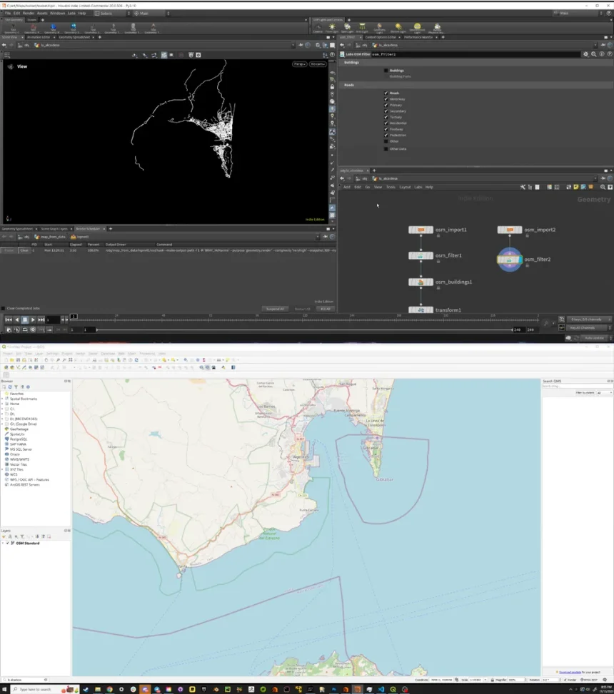
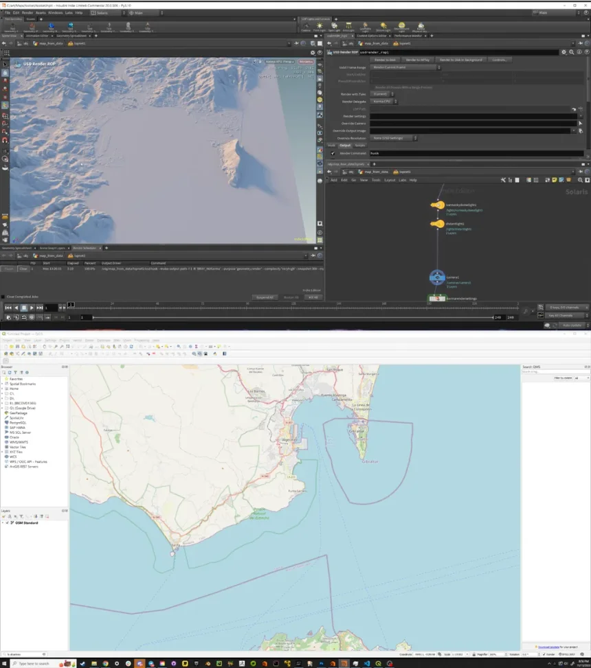
01 — Area selection
The web front-end presents an interactive map (OpenStreetMap-based). The user draws a polygon over any region of interest — a coastline, a mountain range, a valley, a city perimeter — and submits the request. No coordinates to look up, no files to locate.
02 — Elevation data acquisition
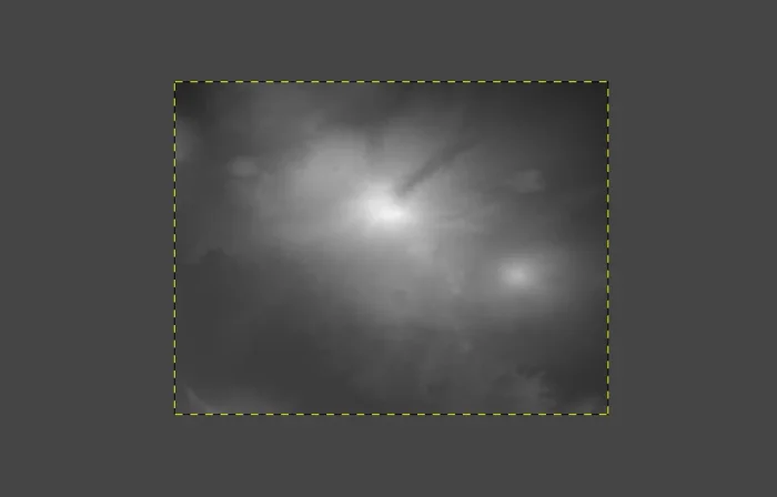
The system fetches the corresponding Digital Elevation Model (DEM) data for the selected area — raw elevation values encoded as a GeoTIFF, where each pixel's brightness represents height above sea level. Global coverage, pulled automatically from the defined region.
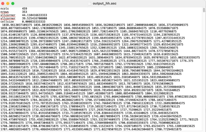
03 — Format conversion
The GeoTIFF is converted to an ASCII grid format — a structured elevation matrix with spatial metadata — suitable for ingestion into the procedural geometry pipeline. The conversion preserves geographic precision and prepares the data for mesh generation.
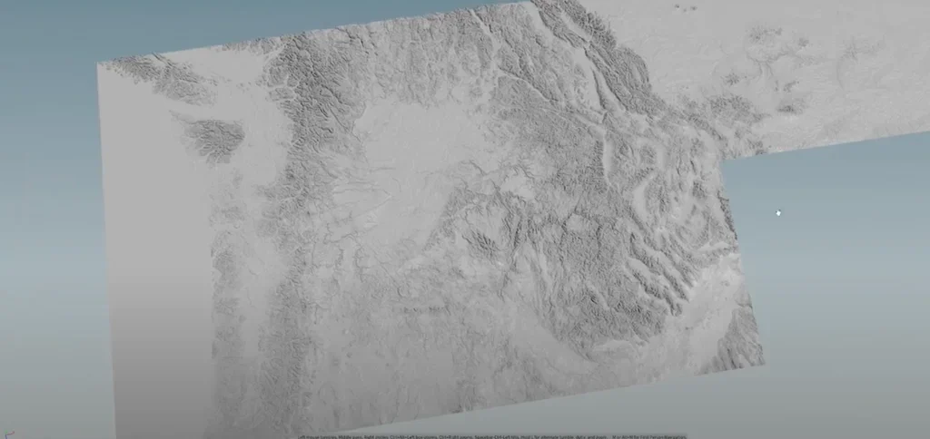
04 — 3D geometry generation
Houdini's procedural pipeline takes the elevation data and constructs a 3D terrain mesh — displacing geometry according to the real-world height values, cleaning topology, and preparing the output for downstream use. The node graph is fully parameterised; no manual intervention per terrain.
05 — Export
The finished geometry is exported in formats appropriate to the target application — simulation environments, game engines, GIS tools, or 3D visualisation software. The same pipeline, the same output quality, regardless of which part of the planet was requested.
From raw data to geometry
Applications
Military planning
Mission rehearsal, operational terrain analysis, and line-of-sight planning in 3D environments built from real-world geography — not approximations.
Firefighting & civil response
Accurate terrain for wildfire spread modelling, access route planning, and resource positioning — anywhere a fire (or flood, or landslide) might occur.
Simulation & visualisation
Real-world terrain geometry ready for game engines, simulation environments, and visualisation tools — without the manual work of building it by hand.